1
Tous Reservoir (Embalse de Tous)
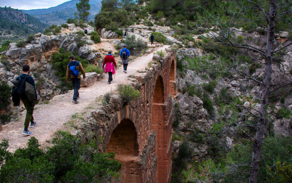
Some routes run along trails that aren’t shown on Google Maps, so we recommend installing a dedicated hiking app before you set off — for example, Organic Maps — where all the necessary paths are marked.
This article includes routes of varying difficulty. Please assess your fitness and experience before you go, bring enough food and water, and wear suitable clothing and footwear. In some cases, you’ll also need additional gear.
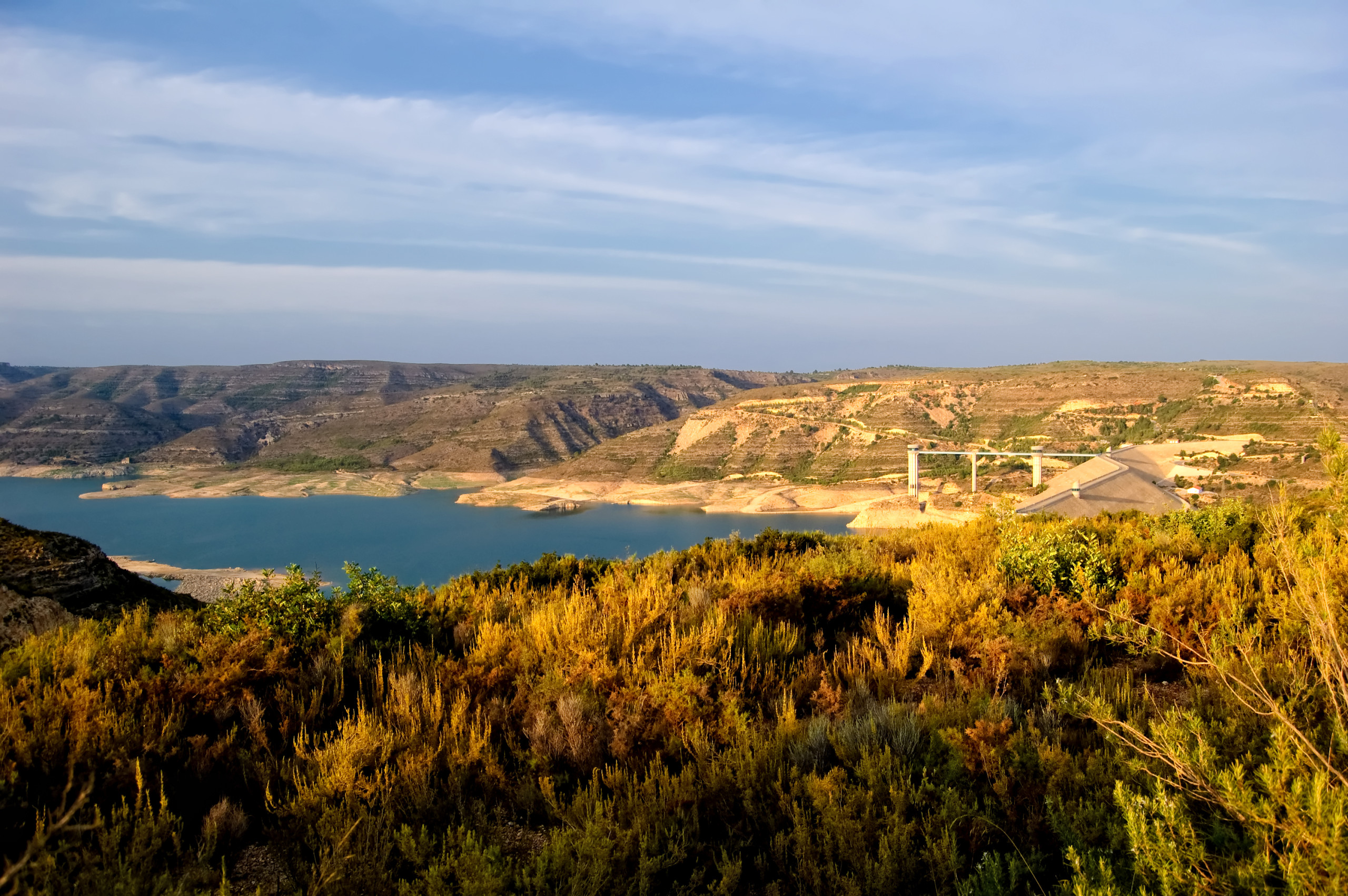
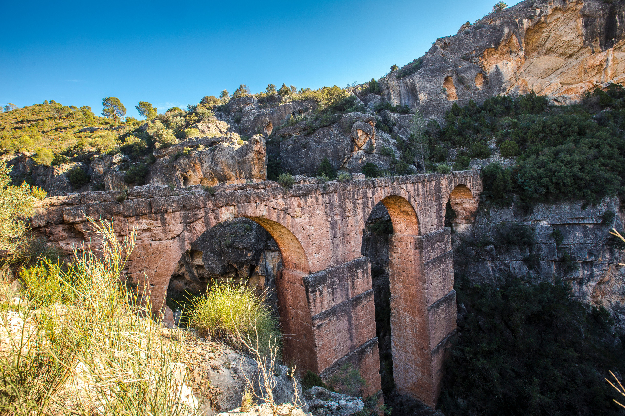
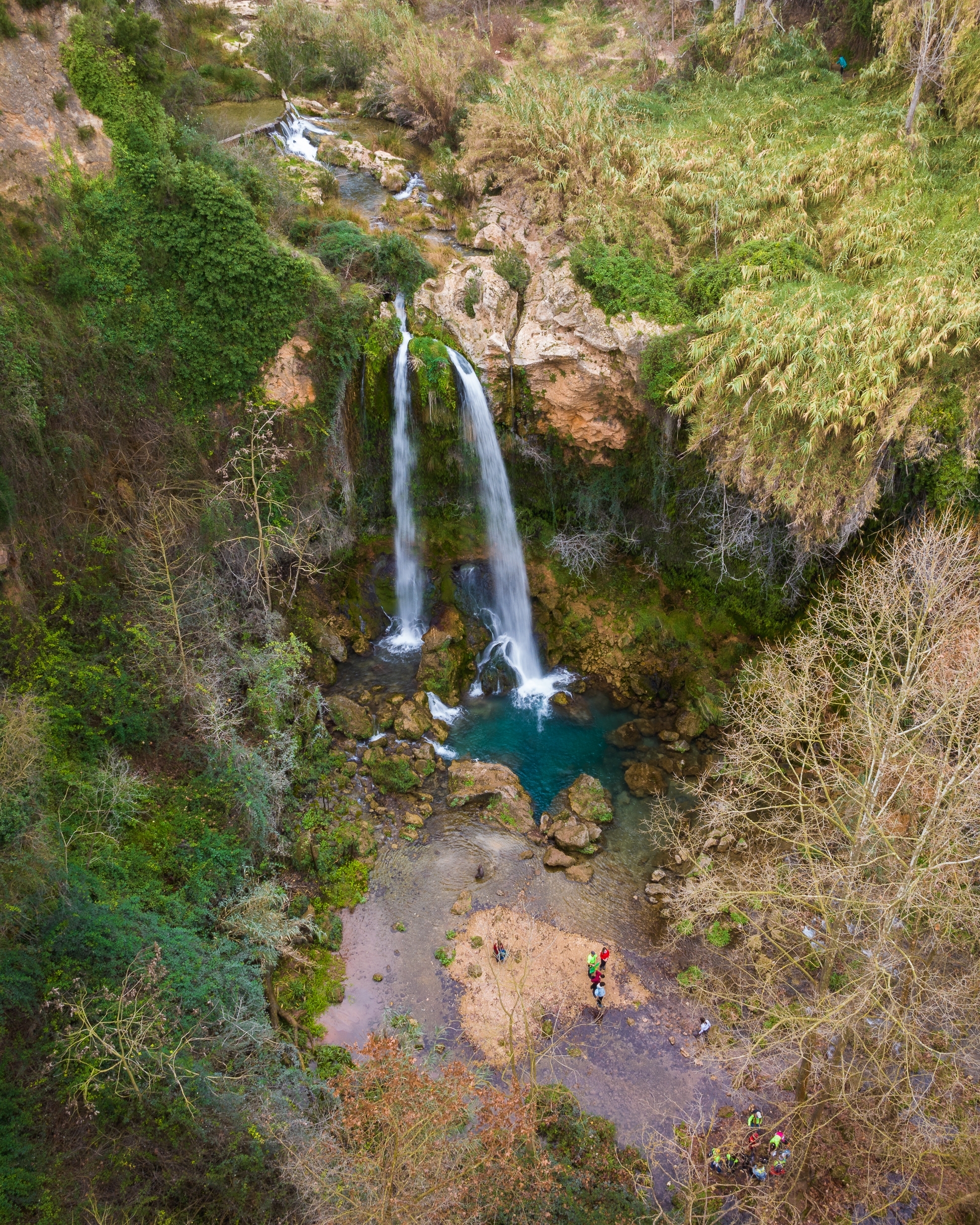
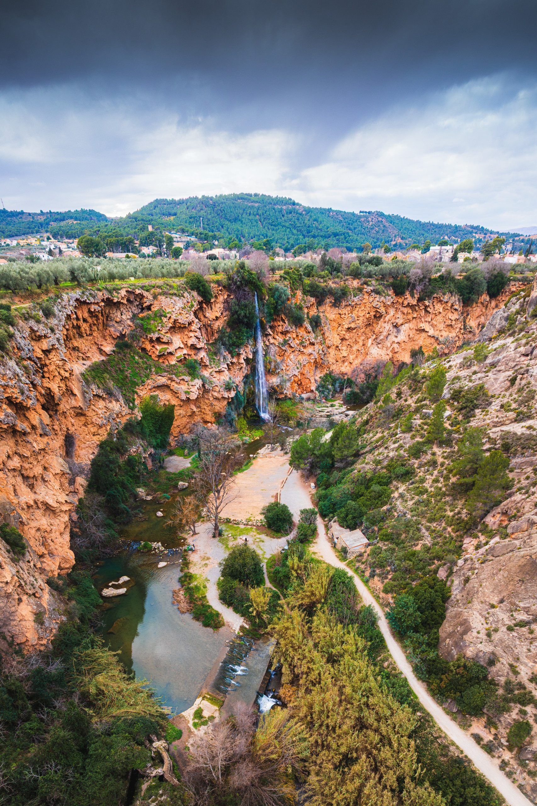
The small town of Anna lies 70 kilometres south of Valencia. You can reach it in about an hour by car and park in one of the town car parks. It’s also possible by public transport: take an express train from Valencia’s main station to Xàtiva, then take bus L1A from Carrer Cavaller Ximen (Frente A2) to C/ Mayor, 50.
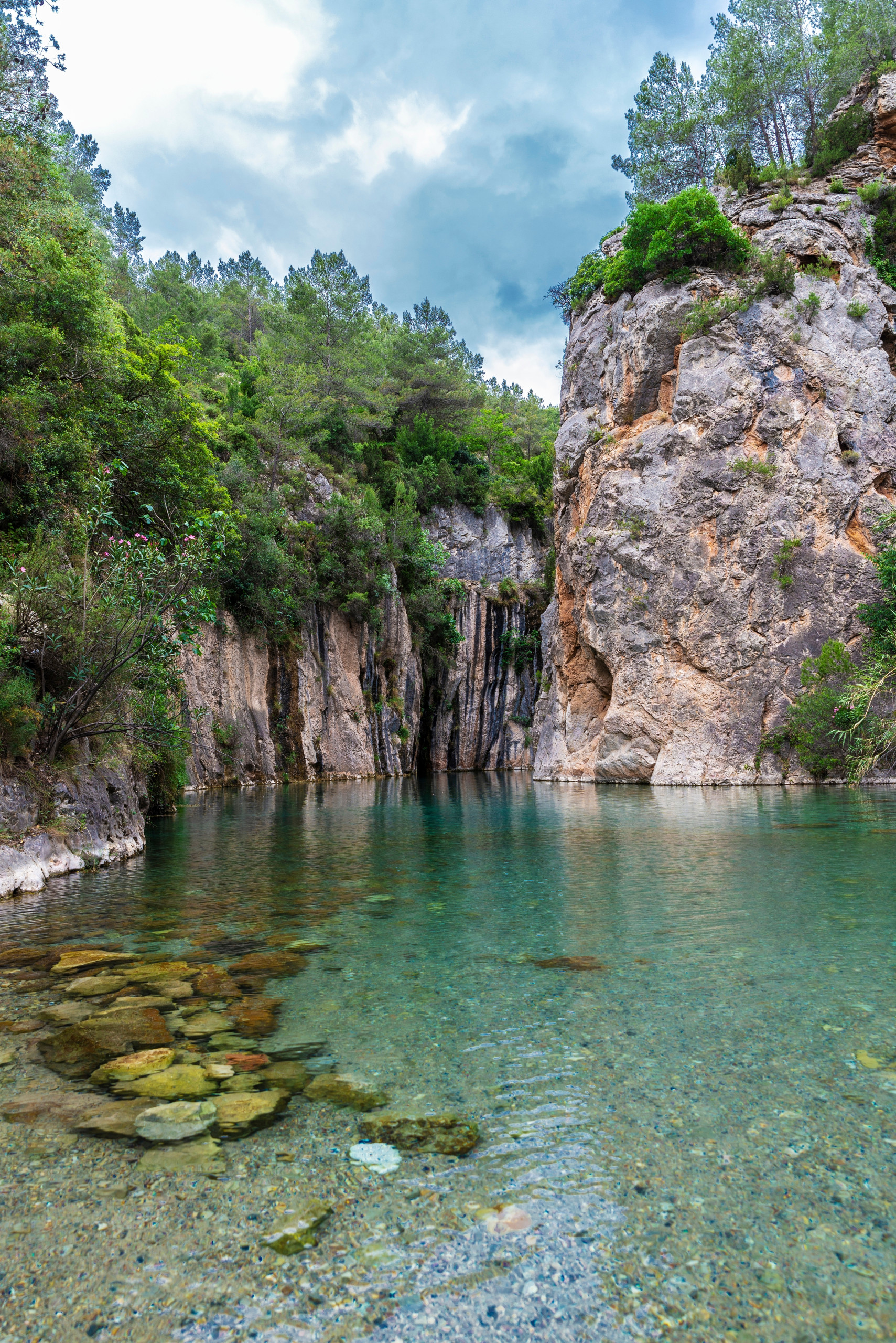
Anna is known for its gorgos — small natural pools formed by freshwater springs. A walking route runs along these pools and three waterfalls.
Near the car park you’ll already find the first stop: Gorgo de la Escalera. To reach it, you climb a staircase — which is where the pool gets its name. A little further on is the first waterfall, Cascada del Salto, but you’ll come to it shortly. For now, cross from one side of the pool to the other and, making a small loop, walk to Casa del Salto, a former paper mill.
Walk a little further, turn left, and reach a bridge. It takes you to Cascada del Salto. Then go back, cross the bridge again, and join the road. You’ll be on it for a while, but there are good photo spots along the way.
Cross a small stream, turn left, and continue. Next you can reach a picnic area, take a break, and head towards the second pool, El Gorgo Catalán, where you can swim in summer.
The next stop is another waterfall, Cascada del Molino. Nearby you can also visit the palace of the Counts of Cervellón (Palacio de los Condes de Cervellón), but to enter you need to call in advance and book tickets. From there you can walk to another abandoned mill, Miguelín, then to Gorgo Gaspar, and finally to Cascada de los Vikingos. From here you can return to the car park and starting point, or extend the route and explore the town.
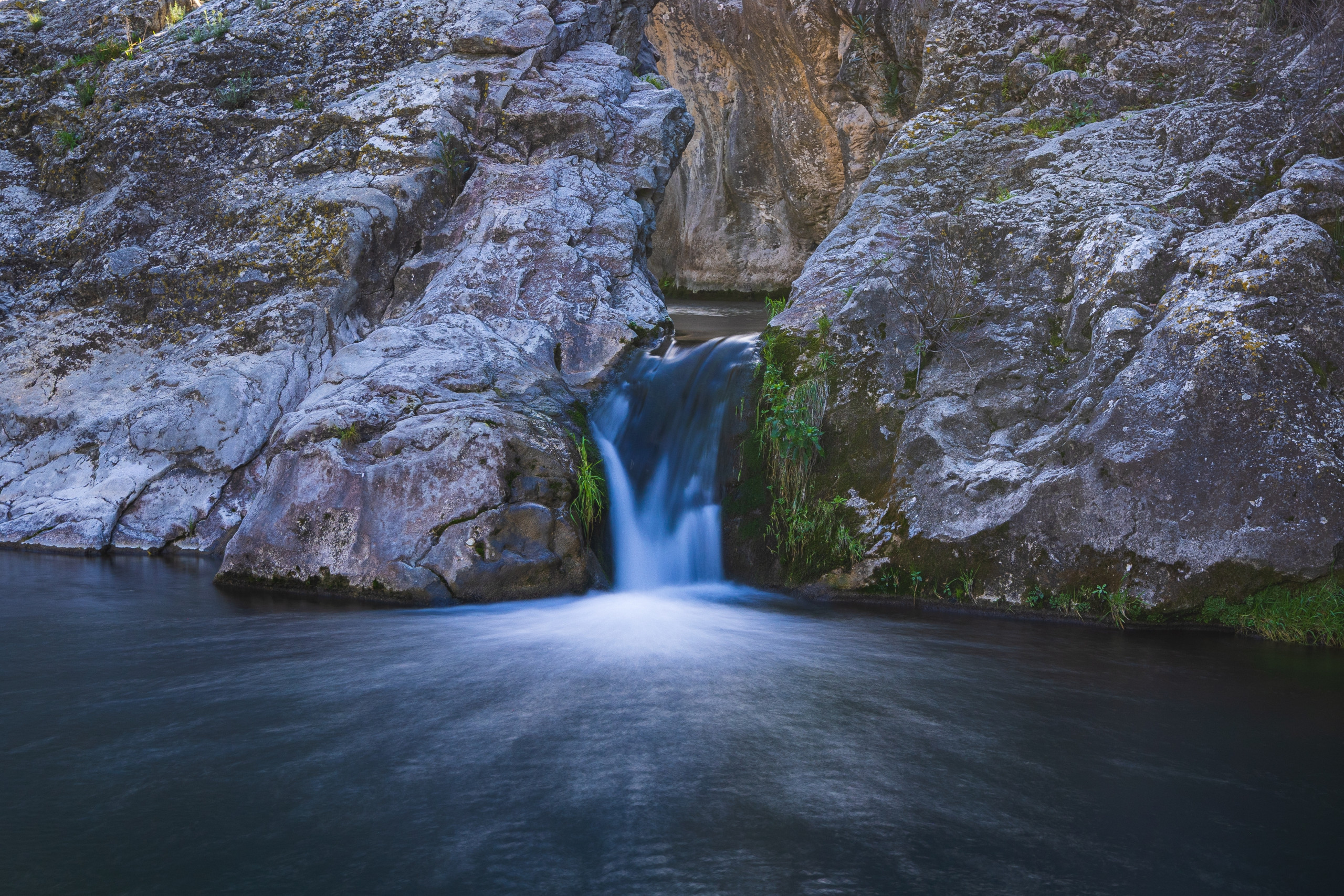
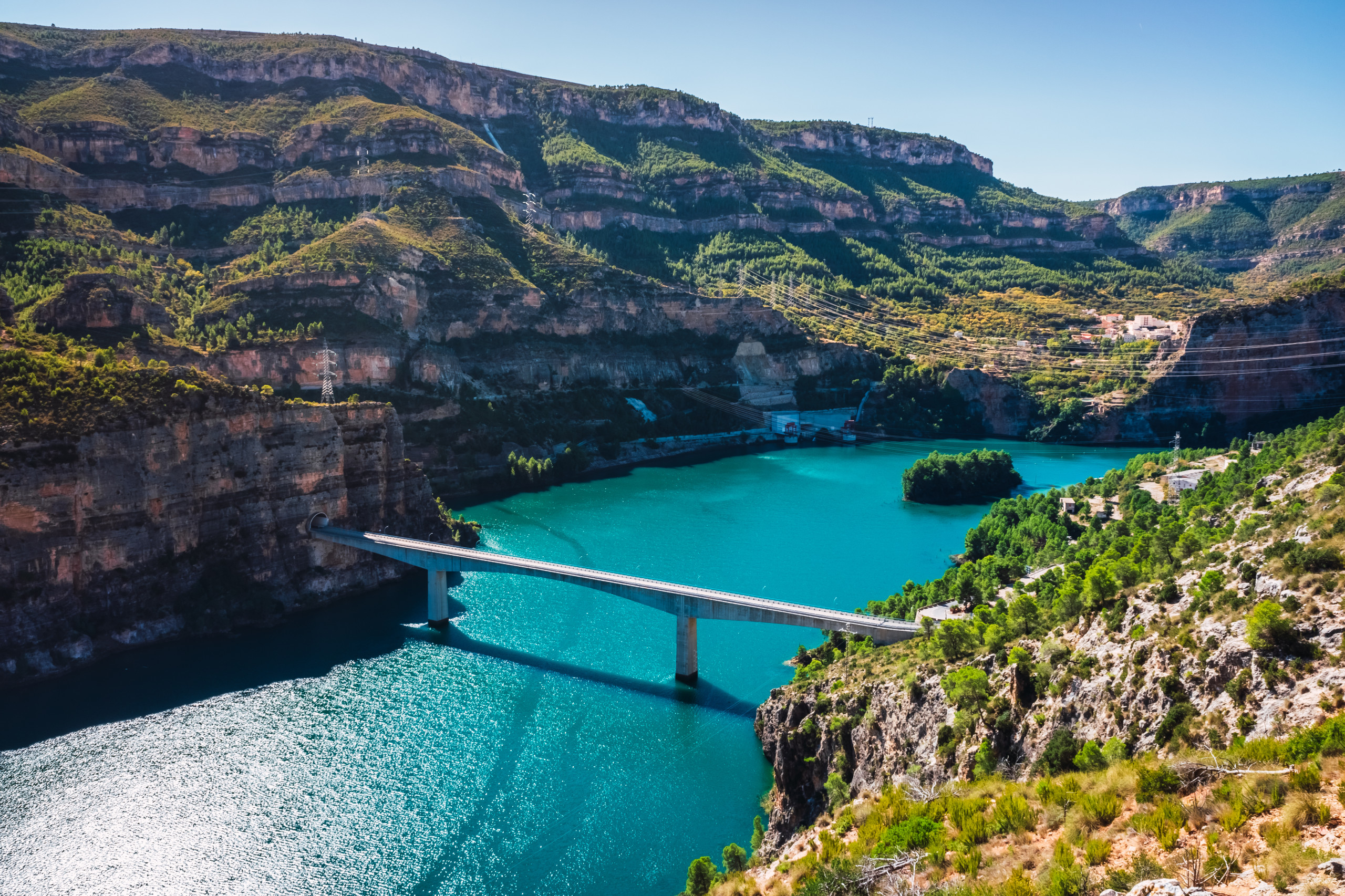
Cortes de Pallás is about 85 kilometres from Valencia, and the drive takes around an hour and a half. The area has many natural pools where it’s lovely to rest and picnic.
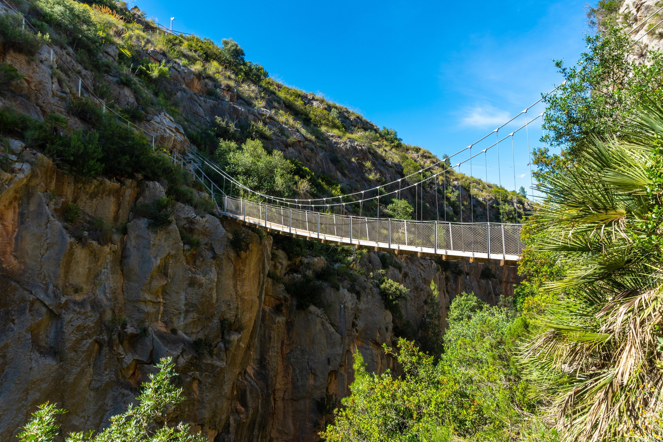
You can start from the town itself and take a trail that runs along several waterfalls. Along the way you’ll find places suitable for swimming. After that, the trail opens up to striking views of cliffs, and you’ll start coming across caves.
The most difficult section is Paso de la Franca: mountain paths here are equipped with ropes and chains.
Experienced hikers advise taking it carefully, though in good weather the route isn’t dangerous. After this stretch, the path leads to a power station and an artificial reservoir. From there, you can climb to a viewpoint.
The final part is the return trail back into town. If you want, you can extend the route and continue from Cortes de Pallás to a natural reservoir .
Guadalest (El Castell de Guadalest)
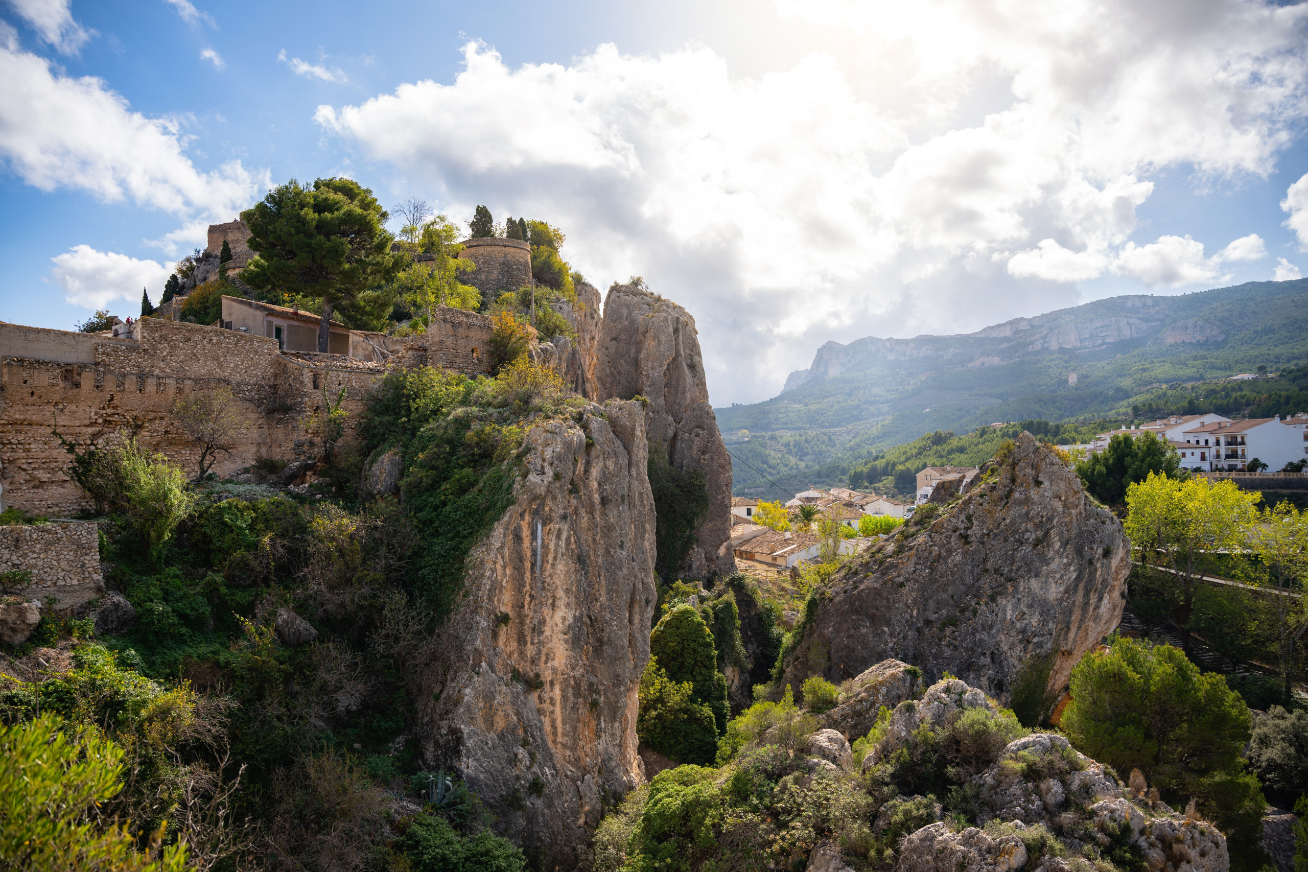
Guadalest is in the province of Alicante, and it takes about two hours to reach it from Valencia by car. It’s a small town known above all for Castillo de San José (San José Castle), built in the 12th century, as well as the scenic Embalse de Guadalest and its views.
The easiest way to get there is by car. You can also travel by ALSA bus to Benidorm, then take bus L13 towards Guadalest — but the total travel time will be over four hours.
Once in Guadalest, you can limit yourself to visiting the castle and walking around town. You can also descend to the reservoir and walk its perimeter. Part of the route follows paths, and part follows good roads. There are no difficult sections apart from crossing a small stream via stepping stones, where you should take care.
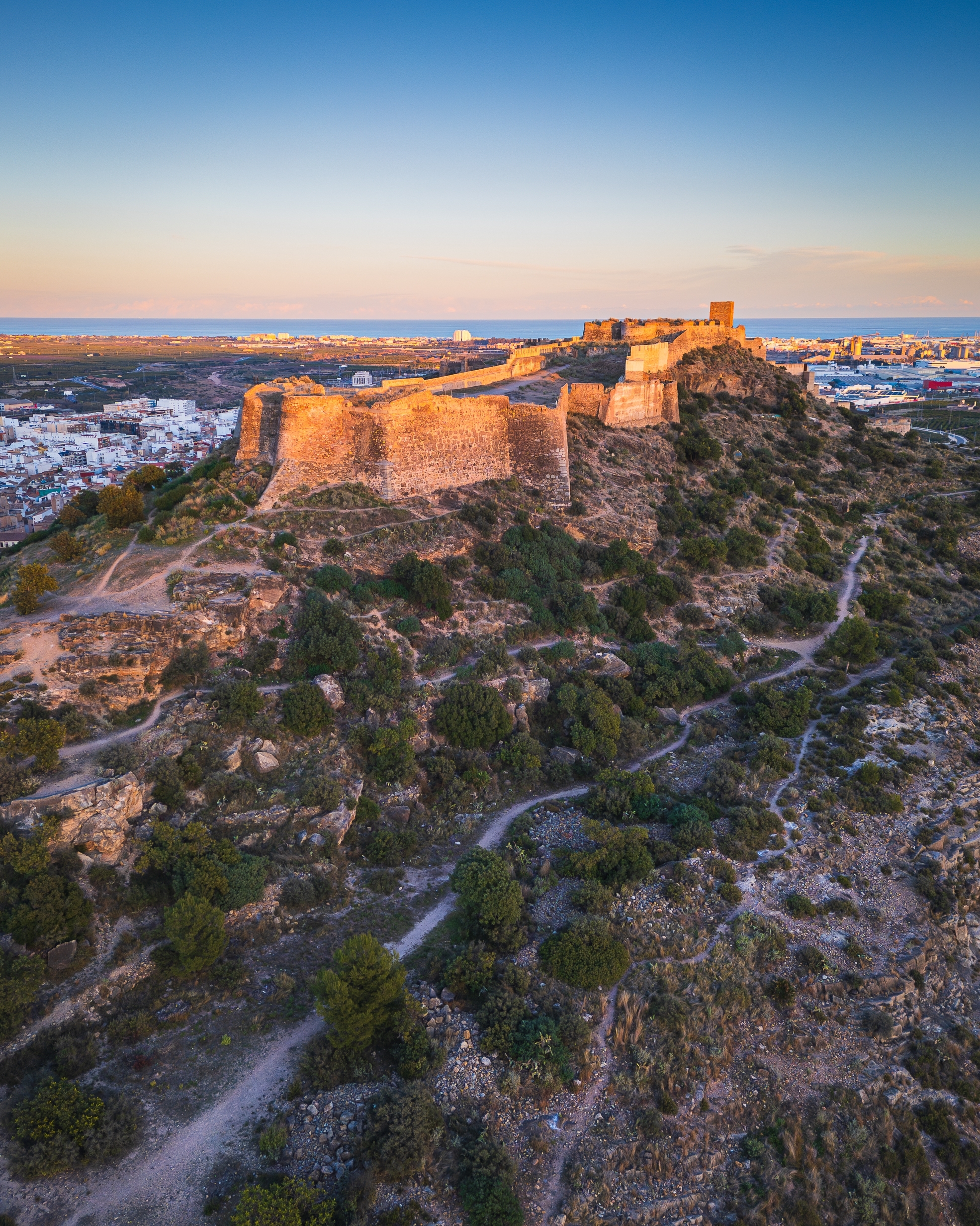
The city of Sagunto lies 30 kilometres from Valencia and is well worth a dedicated walking day. It’s home to an enormous castle that for two thousand years repeatedly ended up at the centre of wars involving Romans, Visigoths, Arabs and Christians. Other local sights include the Roman theatre (Teatro Romano de Sagunto) and forum. This route is ideal for anyone who wants not only cliffs, forests, rivers and reservoirs, but also city streets and history.
You can start here — it’s convenient both for drivers (to park and set off on foot) and for those arriving by train from Valencia and getting off at Sagunt station. From this point, the castle is already visible.
From there, head north to the first roundabout, turn left, and walk to the first landmark: the square and the Church of El Salvador (Iglesia del Salvador), featuring Romanesque and Gothic elements. Construction began in the 13th century, and the building was rebuilt many times afterwards. Next, wander through the small streets — for example, stop by the spot where the remains of a Roman domus (a single-family mansion) have been preserved. There is now a museum here. Then continue towards the platform at the foot of the castle, with views over the coastline.
Here, the road turns into a trail that skirts the base of the slope and leads to a viewpoint. You can also find traces of several Iberian dwellings carved into the rock, as well as a tower. From the viewpoint, continue along the fortress walls. Walk around the western side of the castle via the paths and reach a medieval tower. Nearby are several small caves, and further on — an open hermitage and the columns of the Seven Sorrows of the Virgin Mary.
Next comes the Roman amphitheatre. If it’s open, you can go in and test the theory of the “perfect acoustics” of Roman theatres. Then the path leads to the entrance of Sagunto Castle (Castillo de Sagunto). It’s best to head east first to see the remains of the Roman forum, the main castle gate, and Plaza de la Almenara. After that, you can explore the fortress and its squares, then return to the entrance.
From there, you can also turn left and follow the castle wall to the Jewish cemetery and Civil War-era structures, or return straight to the amphitheatre. From this point on, you can shape the rest of the walk as you like: stroll the city streets, reach the Church of Santa María, see Roman ruins, then return to the starting point.
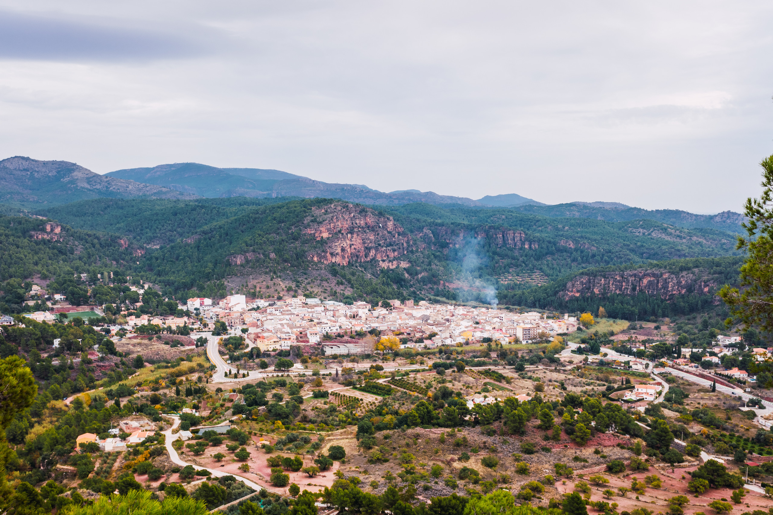
The small town of Olocau sits next to the vast Serra Calderona Natural Park, which has many hiking routes of varying difficulty starting from different towns. One of them leads to Castillo del Real, with views over Camp de Túria / Campo de Túria and the entire Gulf of Valencia, then on to the Moorish village of Olla.
The distance from Valencia to Olocau is about 40 kilometres, and the drive takes roughly 40 minutes. You can leave your car in one of the town car parks. By public transport, take Metrovalencia Line 2 to the final stop Llíria, then change to bus L1 to Av/Font del Frare 18. If you wish, you can start with a picnic and then head towards the castle along a paved road.
Only a few walls remain of the fortress, but the place is considered legendary because it’s mentioned in the Poem of the Cid. From here you get views over the Turia plain. The castle was built in the 11th century and changed hands repeatedly after the Christian conquest. Its layout is irregular because builders had to adapt to the terrain.
If you want an easier version, you can skip Olla and return to the starting point the same way. To reach Olla, you’ll need to turn off onto a trail and walk through a ravine to the village. There you can wander the streets and then follow a clearly marked route back to the start.
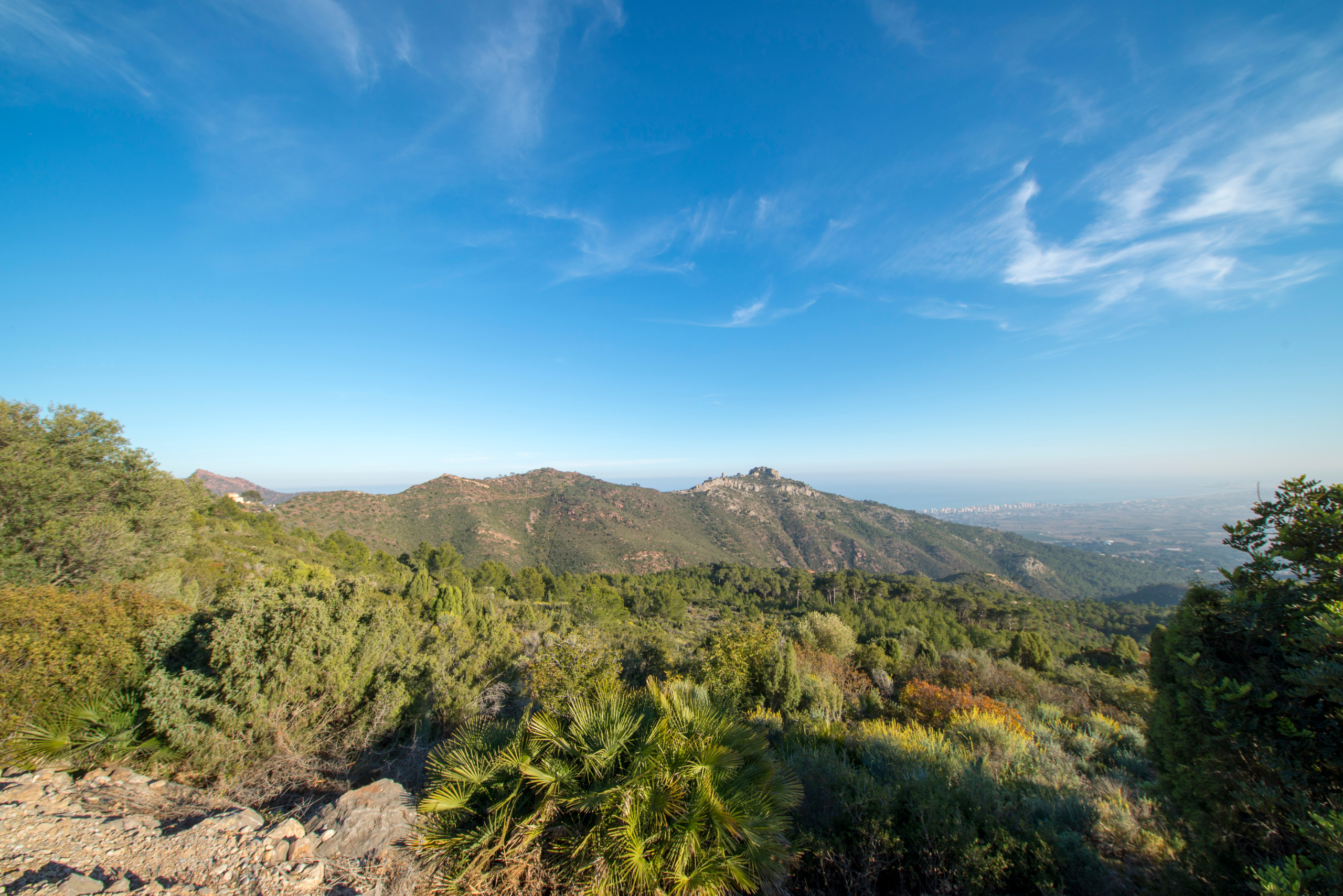
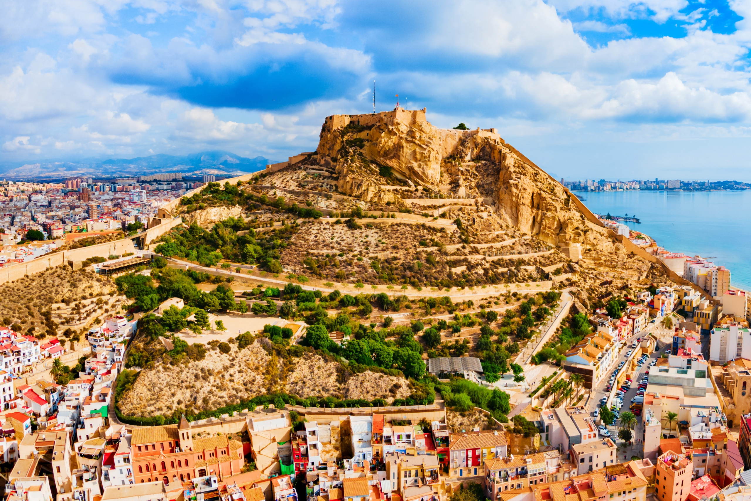
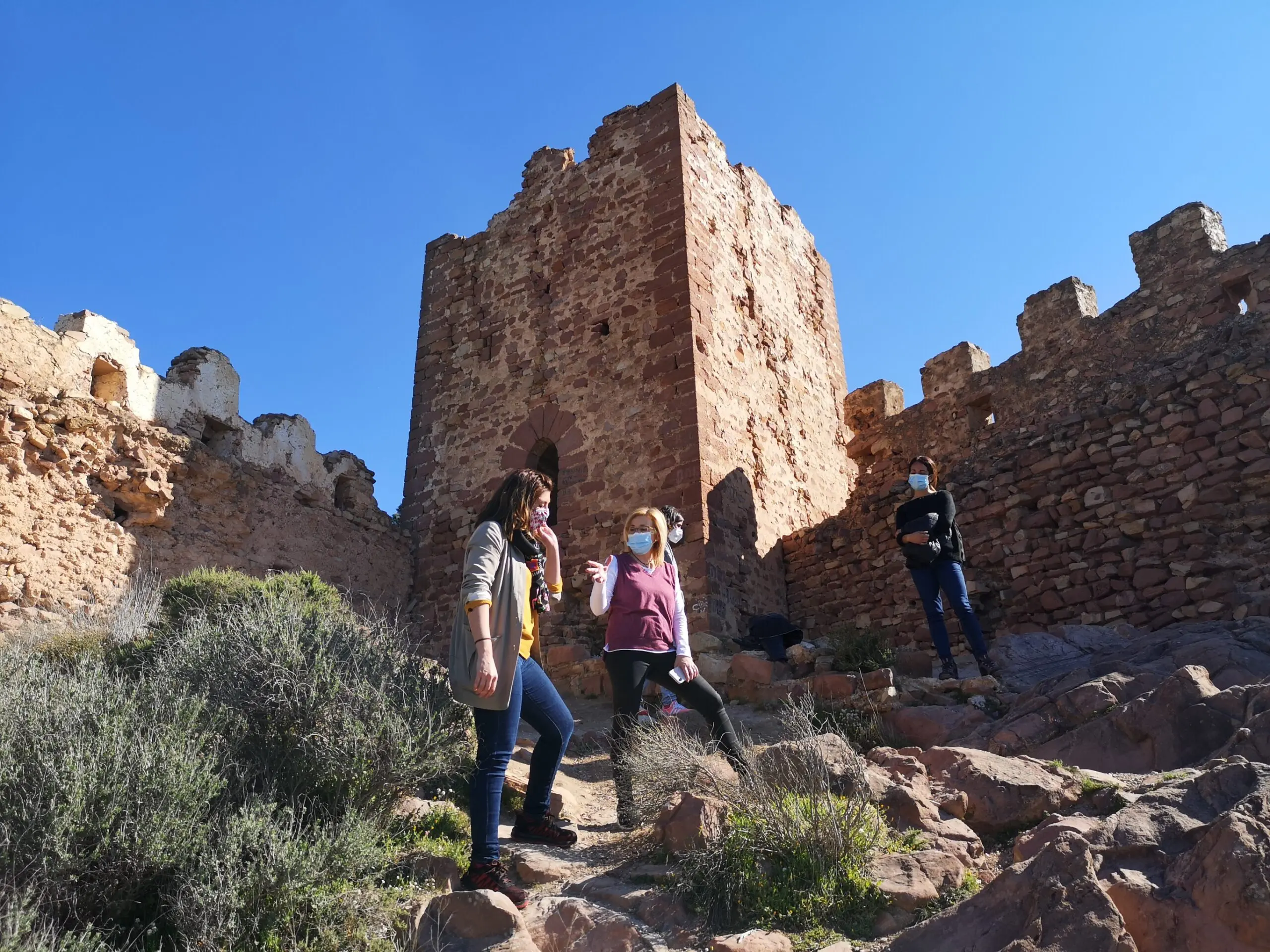
Castillo de Castro is located near Alfondeguilla. You can reach the town from Valencia in under an hour by car, or in a couple of hours by public transport. The castle is an ancient Arab fortification whose origins go back to pre-Christian times. It sits at about 790 metres above sea level. Only ruins remain today, but the panoramic views over the surrounding peaks make it no less compelling.
You can start the walk to the castle from the car park or from any other point in Alfondeguilla. You can reach the town by car, or by two buses: first L113 from Facultats metro station in Valencia to Vall d’Uixó, then L360a from the local bus station to CV-230 (km 15.7) in the south of Alfondeguilla.
Walk to the crossroads in the north of town and turn left. The route to the castle runs through the Parc Natural de la Serra d’Espadà / Sierra de Espadán Natural Park, where you can see cork-oak woodland in the ravines of Horteta and Font de la Pinyeta.
From the crossroads, follow the uphill path through a ravine to the castle. Along the way you can stop at several viewpoints, then continue back towards Alfondeguilla. If the first part was mostly uphill, the next section goes downhill. Nearer the town you’ll pass a drinking fountain and the local cemetery.
Nacimiento del Río Cuervo
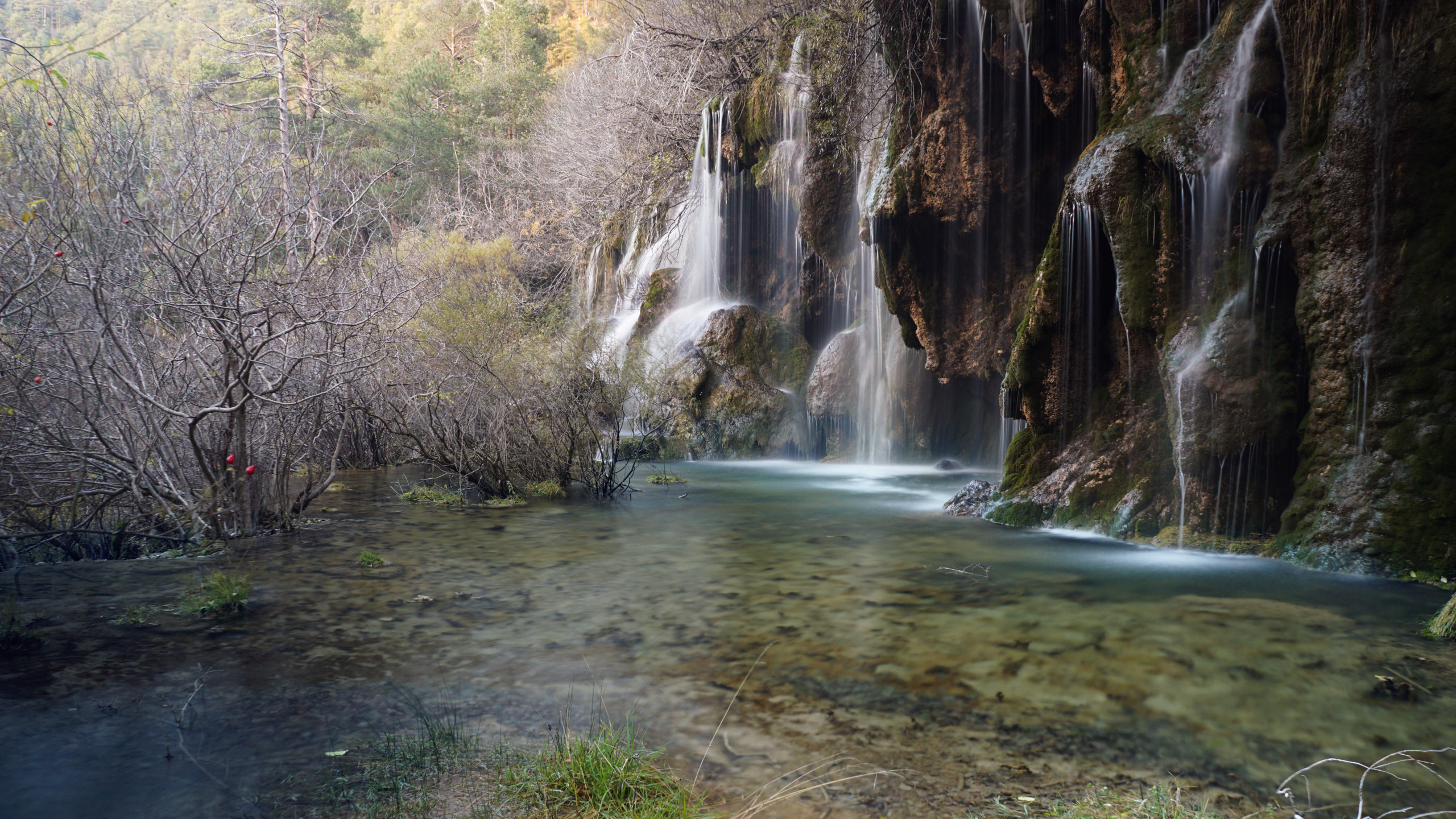
This is the furthest route from Valencia: the drive to the start takes about three hours and covers more than 200 kilometres. Before you begin walking, you can stop for a bite at a nearby restaurant, then follow the road towards the waterfalls. At the start you’ll find an information board explaining different walking options in the region.
The path to the waterfall where the Río Cuervo begins is well equipped for walking, so the difficulty is fairly low. You can stop by the waterfalls to take photos, then cross the river via a wooden bridge to reach the second section of the falls. After that, return to the previous point and head away from the waterfalls in the opposite direction towards a small cave.
The route then goes through meadowland dotted with Scots pine and black pine, following marked trails to Mirador del Cuervo. After that comes a fairly challenging descent down a slope through dense Aleppo pine forest, which brings you back to the start point.
Related Articles
Beyond Paella: Discovering All i Pebre, Valencia’s Best-Kept Culinary Secret
Deep in the heart of the Albufera wetlands, the fishing village of El Palmar preserves a traditional, rich garlic and wild eel stew that tourist traps completely miss
Loading…
Loading…